How Geophysical Study Reduces Construction Failure Risks
Geophysical study plays a crucial role in minimizing construction failure risks. This method provides accurate subsurface information before design and construction begin. Because the ground is one of the primary sources of project uncertainty, geophysical investigations help engineers make safer and more confident decisions. Therefore, understanding how geophysical study reduces construction failure risks is essential for developers, contractors, and engineers.
What Is a Geophysical Study?
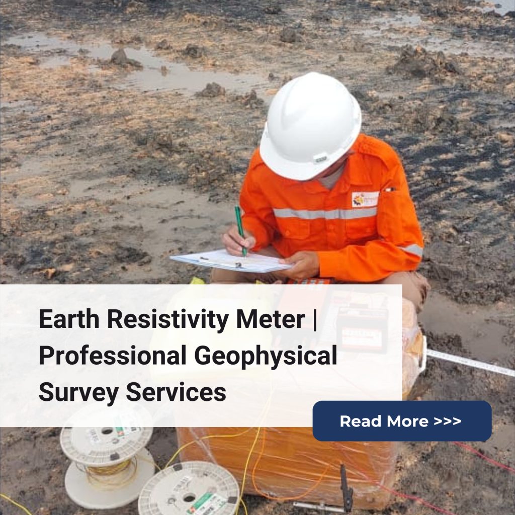
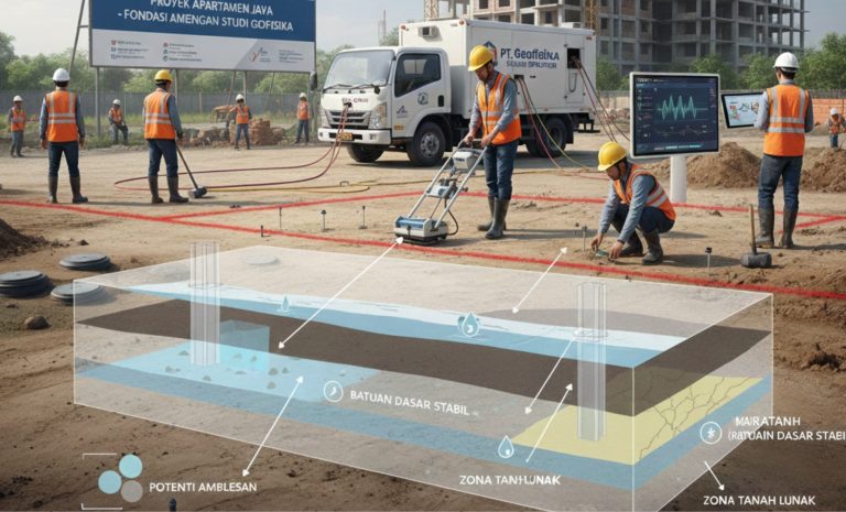
A geophysical study is a non-destructive subsurface investigation method used to map soil layers, bedrock depth, groundwater, and hidden anomalies. Methods such as Electrical Resistivity Tomography (ERT), Seismic Refraction, Ground Penetrating Radar (GPR), Magnetic Survey, and Electromagnetic (EM) Survey allow the team to collect detailed and reliable data. As a result, engineers gain a full picture of the site without excessive drilling.
Why Geophysical Study Reduces Construction Failure Risks
1. Identifies Subsurface Hazards Early
Geophysical investigation helps detect critical issues such as:
Weak soil zones
Cavities and voids
Fractured bedrock
Fault lines
Contamination zones
Because of this early detection, engineers can adjust designs and avoid costly structural failures.
2. Improves Accuracy of Foundation Design
Accurate subsurface data leads to better foundation decisions. With reliable geophysical results, engineers can determine:
Bedrock depth
Soil stiffness
Load-bearing capacity
Settlement potential
Therefore, the risk of differential settlement, excessive deformation, or foundation failure is significantly reduced.
3. Reduces Unnecessary Drilling and Exploration Costs
Geophysical data narrows down areas that require drilling. Consequently, the overall investigation becomes more efficient. This approach not only saves time but also reduces the risk of missing critical soil anomalies between boreholes. Moreover, it helps optimize the investigation budget.
4. Supports Slope Stability and Excavation Safety
Geophysical methods reveal variations in soil and rock strength. As a result, engineers can predict potential slope failures or unsafe excavation zones. This information improves safety for construction workers and reduces the likelihood of landslides. In addition, it helps project teams plan protective measures in advance.
5. Enhances Water-Related Risk Assessment
Groundwater is a major cause of construction issues. Geophysical studies help determine:
Water table depth
Flow direction
Aquifer thickness
Saturated zones
With this information, engineers can design effective drainage, dewatering systems, and waterproofing strategies. Furthermore, it helps prevent water-induced failures during excavation and foundation work.
Benefits for Construction Projects
Geophysical studies offer long-term value, including:
Better planning and risk mitigation
Reduced cost overruns
Safer site preparation
Optimized structural design
Stronger compliance with engineering standards
Because geophysical data improves decision-making, projects are completed with higher precision and lower failure rates. Ultimately, this leads to safer and more reliable infrastructure development.
Geophysical study is one of the most effective strategies to reduce construction failure risks. Through accurate mapping, hazard detection, and improved design confidence, it supports safer and more reliable project execution. By integrating geophysical data from the early stages, developers and engineers can prevent costly errors and ensure long-lasting structural performance.